Where to Find Satellite Imagery

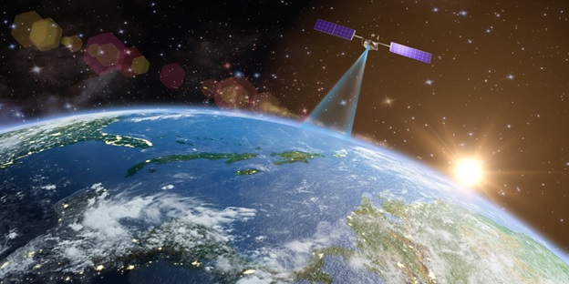
Satellite images are used in various industries. They provide many opportunities for tracking events and changes on the Earth’s surface. Today, it’s quite simple to get access to satellite imagery, and they are available to everyone.
There are three types of satellite images:
- visible
- infrared
- water vapor
These images differ in the part of the electromagnetic spectrum that satellite sensors collect. For different types of radiation in a particular region of the spectrum, the atmosphere is transparent. Such areas are usually called atmospheric windows or channels. These areas are called atmospheric windows or channels. The “vision” of satellite radiometers is tuned to a wide range of windows of electromagnetic radiation.
Infrared and visible are the most widely used atmospheric windows. The water vapor channel is used in the study of the upper troposphere. Low clouds and the earth’s surface are almost invisible in water vapor images because high clouds and steam absorb radiation in this region of the spectrum.
Scientists use information from all three types of images for various purposes. This information enables weather forecasting and extensive monitoring capabilities, including ice flows, wildfires, and ocean currents. In addition, only satellites can provide unique data on climate models in the long term at the global level.
Where to Find Satellite Imagery
You can find different sources of satellite images of different resolutions to date. Images can be obtained for free, but high-res images from satellite can cost hundreds of dollars or more. Lower resolution images can be used if your study does not require a detailed area view. Sentinel 2A/B and Landsat datasets are suitable for this. You can get this data from various sources, the most popular of which is Scihub for Sentinel images and Earth Explorer for Landsat images. There are raw image files available for download. To open and view these images, you will need a geospatial program such as QGIS.
If you don’t know how to use and analyze satellite images, you can learn this knowledge from various platforms to make working with data more convenient and easy. These platforms include the paid platform Sentinel Hub, Remote Pixel, and Google Earth Engine. Images make it possible to capture and track various changes on the Earth’s surface over time.
You can document a variety of events, including floods, deforestation, fires, droughts, destruction, crop destruction, glacier changes, oil spills, and more. You can also view changes over time with the Landsat imagery archive since 1972. You can also use Google Timelapse to appreciate how dramatic some changes on the surface of our planet were.
If your research requires images that show details, you need to find high-resolution images. The best resolution of satellite imagery today is 30 cm. Such imagery allow you to see various objects, including vehicles, elements of city streets, queues of people, trees, debris in small areas, and destruction and damage. Depending on your needs, you can use older high-resolution images from accessible sources. You can use Google Earth, Bing Maps, or Zoom. Earth to get these images.
More recent images will have to be paid for, and their cost may vary. The order of prices depends on the date, size, and resolution. You can purchase such images for $200 and up. You can purchase images from various commercial companies and resellers:
- CNES Airbus Geostore
- Maxar
- Planet
- ApolloMapping
- Harris Geospatial
- Bird.i
- Skywatch
EOSDA Webinar
EOS Data Analytics will hold an open webinar helpful to representatives of various industries, including agro-consulting, IT, and banks. EOS Data Analytics uses satellite technology to provide valuable insights and data-driven effective decision-making. The webinar’s subject will be maintaining sustainability and increase profitability across multiple agriculture areas.
Climate change, environmental pollution, and the growing demand for food led many businesses to look for more sustainable ways to produce. Participants will also learn how satellite technologies contribute to the development of precision farming and how they allow farmers to adapt to changing environmental conditions. The webinar will take place on May 24 at 15:00 GMT.


